News

News

What improvements does a marine multi-function terminal offer to navigation accuracy by integrating electronic charts and GNSS positioning?

What improvements does a marine multi-function terminal offer to navigation accuracy by integrating electronic charts and GNSS positioning?

2026-03-19

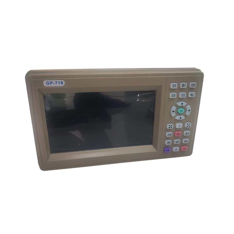
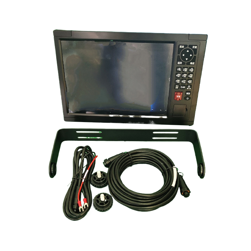
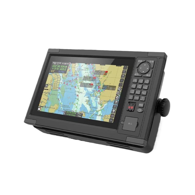
As a crucial piece of equipment in modern ship intelligence, the marine multi-function terminal achieves precise acquisition and real-time display of navigation information through deep integration of electronic charts and GNSS positioning technology.

How can a communication system terminal improve the accuracy of ship navigation through high-precision positioning in maritime applications?

How can a communication system terminal improve the accuracy of ship navigation through high-precision positioning in maritime applications?

2026-03-11

With the development of satellite navigation technology, communication system terminals have become essential equipment for ship navigation. High-precision positioning technology allows ships to obtain their position, heading, and speed in real time, sign

How can marine satellite navigation systems optimize ionospheric correction algorithms to reduce positioning errors at sea?

How can marine satellite navigation systems optimize ionospheric correction algorithms to reduce positioning errors at sea?

2026-02-27

In marine satellite navigation systems, optimizing the ionospheric correction algorithm is a key step in reducing positioning errors during maritime positioning.

How the Marine Multi-Function Terminal MD-1088 Achieves High-Precision Spatiotemporal Synchronization and Integrated Fusion Display

How the Marine Multi-Function Terminal MD-1088 Achieves High-Precision Spatiotemporal Synchronization and Integrated Fusion Display

2026-02-12

The MD-1088 Marine Multi-Function Terminal represents a significant advancement in intelligent shipboard systems. By integrating electronic charts, GNSS positioning, AIS (Automatic Identification System), radar, fish finders, and Beidou short message modu

How are marine satellite navigation systems leading modern navigation into a new era of precision and safety?

How are marine satellite navigation systems leading modern navigation into a new era of precision and safety?

2026-01-27

In the vast blue ocean, ship navigation always faces core challenges such as direction finding, position confirmation, and route planning.

How does a 7-inch true-color LCD screen improve the visibility of a marine satellite navigation system in bright light or at night?

How does a 7-inch true-color LCD screen improve the visibility of a marine satellite navigation system in bright light or at night?

2026-01-13

As the core basis for crew decision-making, the display interface of a marine satellite navigation system must be clearly readable and accurate under any lighting conditions.

×

Contact Us

captcha